


US
$
5,000.00
Stock 0
单位


Risk control management
Intellectual property
International logistics
Customs declaration and clearance
Financial service
Capital verification and factory inspection
Payment settlement
Global cloud warehouse


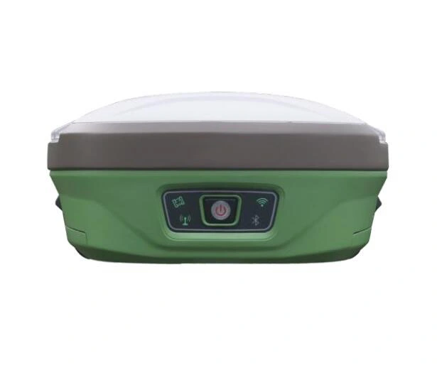
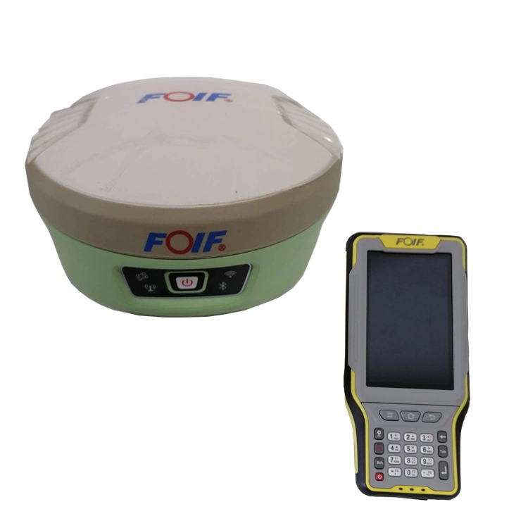
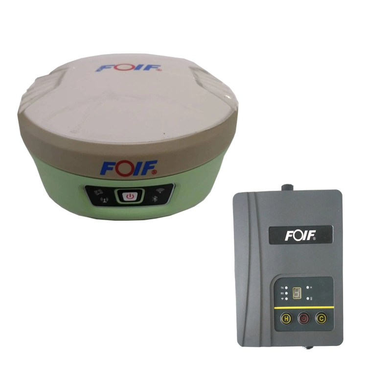
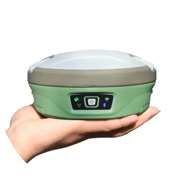
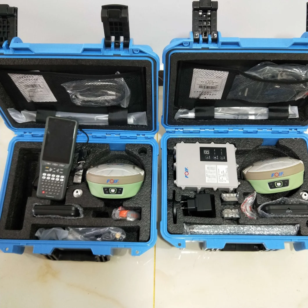
Land Survey Gnss Rtk GPS Rtk Receiver A90
/Unit


 This is a standard product, you can order directly

GNSS | GNSS board | P40 |
Channel | 800 | |
Satellites | GPS: L1C/A, L2E, L2C, L5 | |
GLONASS: L1C/A, L2C/A, L3, CDMA | ||
BeiDou: B1I, B2I, B3I,B1C,B2a, B2b,ACEBOC | ||
GALILEO: E1, E5A, E5B, E5AltBOC, E6 | ||
IRNSS: L5 SBAS: L1C/A, L5 | ||
QZSS: L1C/A, L1 SAIF, L1C, L2C, L5, LEX | ||
Update rate | 5Hz( Standard to 5 Hz, can pay to activate 50 Hz) | |
Static Accuracy | Horizon: ±( 2.5+1*10"D) mm; Vertical: ±( 5+1*10"D) mm | |
RTK Accuracy | Horizon: ±( 8+1*10"D) mm; Vertical: ±( 15+1*10"D) mm | |
IMU function | Tilt survey 60 degree | |
Power | Battery | Dual batteries, 7.2V/3400mAh*2 Can work at least 10 hours |
Input | 9-28V DC | |
System | OS | Linux |
Memory | Internal 8G; TF extended, Max≥32G | |
Bluetooth | V2.1+EDR/ V4.1 Dual Mode, Class 2 | |
WI-FI | 802.11 b/g/n | |
4G | North America: EC25-A, 4G | |
FDD LTE: B2/B4/B12 | ||
WCDMA: B2/B4/B5 | ||
Internal UHF | TRM 101; Power 1W, Frequency 410-470 MHz | |
Work Distance: 5km in good environment | ||
Protocol | SATEL, PCC-GMSK, Trim Talk 450S, South, TrimMark IIII(19200), GeoTalk, GeoMark | |
Electric Bubble | Support, Support tilt survey | |
Interface | TNC | For UHF Antenna |
5 pin | External radio and external power | |
7 pin | USB Port, NMEA Out put | |
Others | Micro SIM Slot and TF slot | |
Operation | Button | Power button, also can show Power status |
Indicator | 5 indicators: Satellites, Datalink, Bluetooth, WIFI Status, Power Indicatior | |
Language | Supports TTS Multi language voice | |
Physical | D*H | 157mm*76mm |
Weight | 1.2KGS with 2 batteries inside | |
Environment | Work Temperature | -30ºC~+65ºC |
Stock Temperature | -40ºC~+80ºC | |
Protection | IP67 | |
Shock | Withstand 2 meters pole drop, 1.2m drop without pole | |
Humidity | 100% |

提示

您还没有完成企业认证


Contact Us:
WeChat :

WeCom :
Contact number :
